Outdoor site set-up use case
Set out your outdoor site works in a single visit
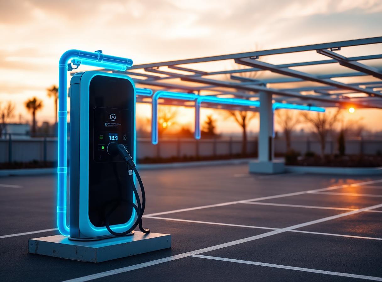
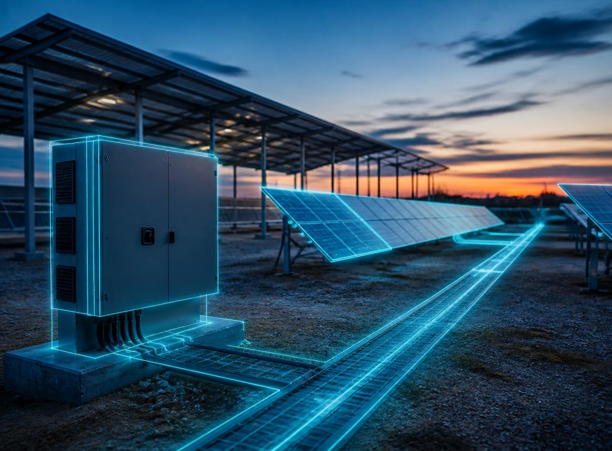
Signage, bollards, barriers, parking bays and traffic routes appear at real scale on site. You settle the layout with your client on the spot, then leave with the survey report, ready to price.
On the field
What goes wrong on site
The layout gets decided on deployment day
Paper plans and sketches: crews discover access clashes and real footprints on the day of build-out.
Buried services slow the job
Without a scaled view of the ground, traffic routes and equipment foundations can hit unmapped services.
The file is rebuilt at the office
Photos without markers, hand-written dimensions, a sketch: the survey report gets written from memory, often days after the visit.
Linkerman method
How a survey runs
- 1Step 01
Project the set-up onto site
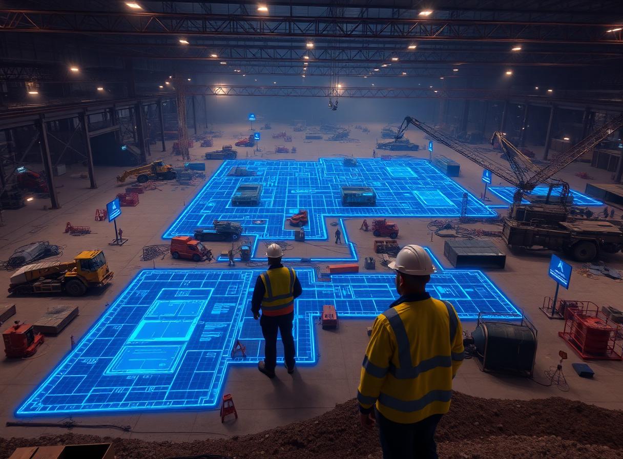
Signage, bollards, barriers, logistics zones and traffic routes appear at real scale on the outdoor area. Footprints and access clashes are checked in minutes and live.
- 2Step 02
Let your client decide on site
The client, your engineering consultancy and your partners follow the session live, on site or remotely, and decide with you.
- 3Step 03
Produce the survey report
Measurements, photos and positions captured during the session feed the survey report directly. You price straight from it, with nothing to re-enter at the office.
Frequently asked questions
- What does Linkerman cost for an outdoor site set-up contractor?
- €450 excl. VAT per month for the subscription (app and technical support), plus a fee per project depending on the plan: €220, €390 or €550 excl. VAT. You can add the Apple Vision Pro, its case and AppleCare+ for €620 excl. VAT per month, or use a headset you already own.
- What hardware do we need to start?
- One Apple Vision Pro. Partners and clients follow the session from a browser, with no equipment of their own.
- What is in the survey report?
- Recorded positions, time-stamped measurements, contextual photos and the information grid filled in during the session, exported to PDF and PowerPoint.
See it run on an outdoor site set-up project.
Someone from the team comes to your offices. You put on the headset, site a piece of equipment yourself and run the survey through to the report.